
Cold Front Targets West Mississippi With Storm Risk Ahead of Tuesday Vote
Forecasters warn of damaging winds and a marginal tornado risk for areas west of I-55 as election day polls open.
By Alessia Romano ·
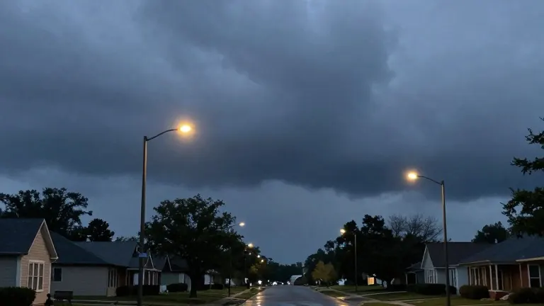
A cold front arrives in Jackson, Mississippi, on Tuesday night, bringing a marginal risk of severe weather to areas west of Interstate 55. Forecasters identified the 1/5 probability zone as the primary area for concern, where storms may produce damaging winds, small hail, and a brief spin-up tornado.
The system will linger into early Wednesday morning. While the rest of the week dries out after the front passes, Tuesday evening presents the highest risk for localized flash flooding. Meteorologists noted that some storms could pack a punch, urging residents in the western counties to stay weather aware during the transition.
The storm system follows a milder Monday. Temperatures in the Jackson area reached the upper 70s and low 80s under mostly cloudy skies. Winds picked up in the afternoon with gusts between 10 and 15 mph. The air remained moist from weekend rainfall, but precipitation held off for the day.
Tuesday begins with dry conditions as polls open for the election. Most of the day stays dry until isolated showers develop in the evening. The arrival of the front coincides with the voting window, potentially impacting travel for voters in the affected western regions.
After the front moves through, cooler air settles in, creating fall-like conditions for the remainder of the week. Afternoon highs are expected to top out in the low to mid 70s. The dry spell continues as the system clears the region.