Tesla Pivots to Building Proprietary Maps for FSD Navigation
The EV giant is developing its own mapping data to resolve recurring errors in its Full Self-Driving capabilities.
By Luana Sato ·
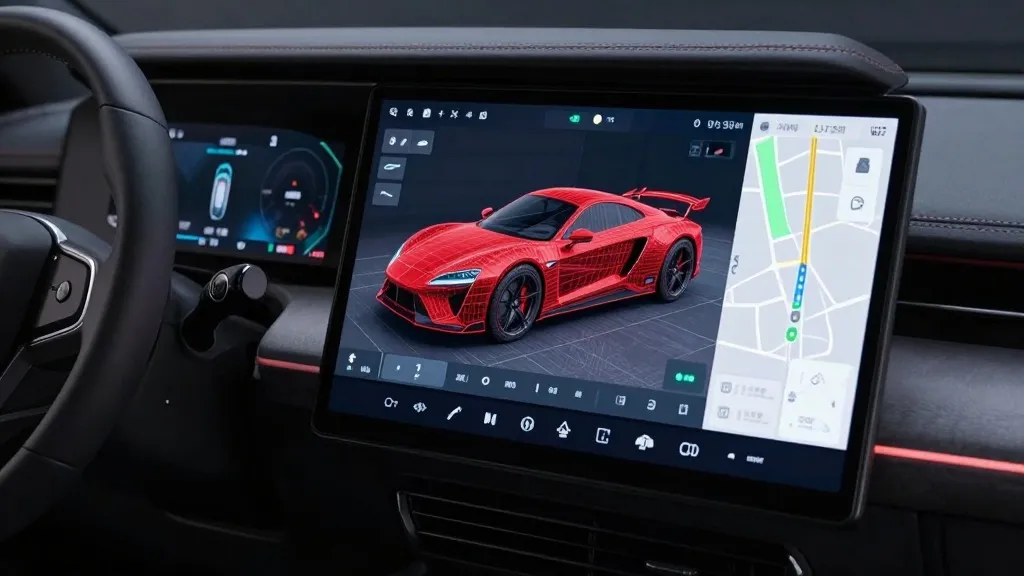
Tesla has announced plans to construct its own navigation maps to address persistent issues within its Full Self-Driving (FSD) system, specifically regarding speed limit detection, parking maneuvers, and route selection. The revelation emerged during the company’s Q3 2026 earnings call, where Tesla’s Vice President of AI, Ashok Elluswamy, outlined the strategy during a shareholder Q&A session.
Responding to investor concerns regarding FSD’s navigation failures, Elluswamy confirmed that Tesla intends to cease reliance on third-party mapping providers. "We shouldn't be depending on external people's maps," Elluswamy stated. He detailed the development of a new AI-based mapping and navigation architecture, which will utilize data collected by the company’s fleet to learn individual driver preferences and process voice commands.
This initiative marks a significant departure from previous company stances. In 2015, Tesla utilized high-precision maps with high granularity for Autopilot, but the approach was reversed by 2019. During the company’s Autonomy Day presentation, CEO Elon Musk labeled high-precision lane maps as a "huge mistake" and a "really bad idea," arguing that such reliance renders self-driving systems "extremely brittle." That criticism coincided with his dismissal of lidar as a "fool’s errand."
Current operational difficulties with FSD underscore the necessity for this new map layer. A recent study by a Belgian road safety group found that FSD vehicles exceeded speed limits in 55% of 30 km/h zones in Brussels, averaging 44 km/h, while the vehicle’s interface frequently displayed incorrect limits. Additionally, the National Highway Traffic Safety Administration (NHTSA) is considering an investigation into claims that Tesla Robotaxi vehicles speed through active school zones.
The new mapping architecture will roll out in stages. Tesla stated that the technology will begin by handling the initial and final stages of trips with the upcoming FSD v15 release. Over the subsequent months, the system will progressively take over full navigation, parking, and destination handling.
By generating and updating map data through its own vehicle fleet to identify environmental factors and operating within geofenced service areas, Tesla’s approach currently mirrors the operational model used by Waymo. While Waymo utilizes lidar-equipped vehicles for mapping prior to launching service, Tesla aims to achieve similar navigation accuracy by utilizing data collected from its customer vehicles.